
Today and Monday’s Excessive Rainfall Outlook
A Limited Risk of Excessive Rainfall is in place for central Alabama, where grounds are already saturated from previous days of rainfall. For the rest of the state, a Limited Risk for Excessive Rainfall is in the Outlook.
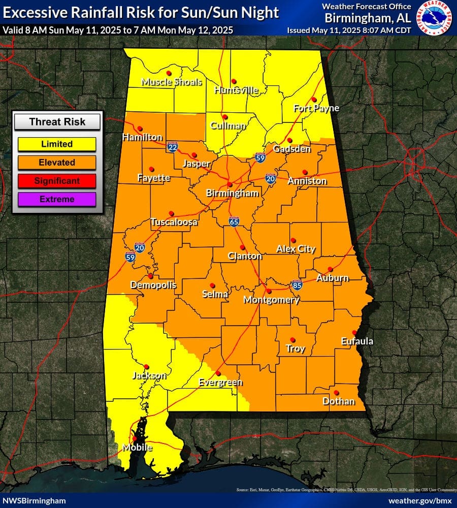
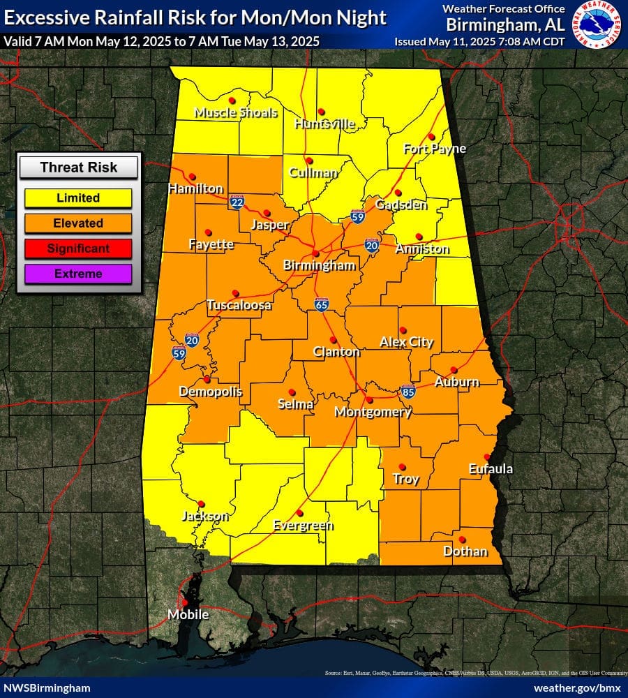
| Limited | Isolated flash floods possible. Most flooding will be localized to areas that can experience rapid runoff with heavy rainfall. |
| Elevated | Scattered flash floods possible, some potentially significant. Most vulnerable are urban areas, roads, small streams, and washes. |
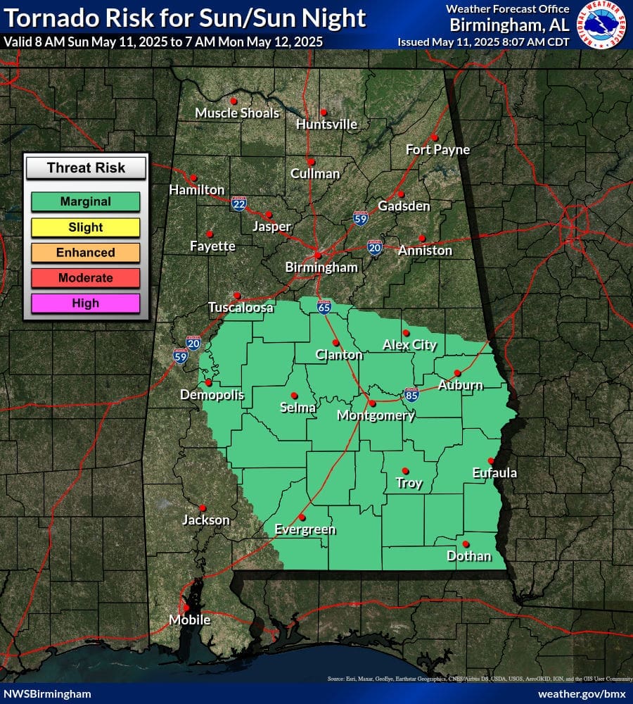
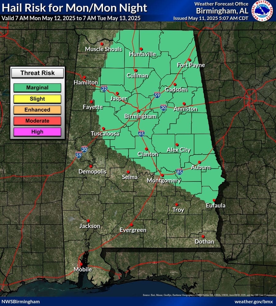
Today and Monday’s Severe Weather Outlook
Today’s Marginal Risk will be confined to a corridor of west Alabama to southeast Alabama. For our Coverage Zones it will be west and central Alabama. The primary concern with any thunderstorm that develops will be gusty to damaging winds although a brief tornado cannot be ruled out.
On Monday the Marginal Risk expands across north Alabama and begins to exclude some of west Alabama. The risk then turns to a risk for large hail with little to no tornado or damaging wind threat.
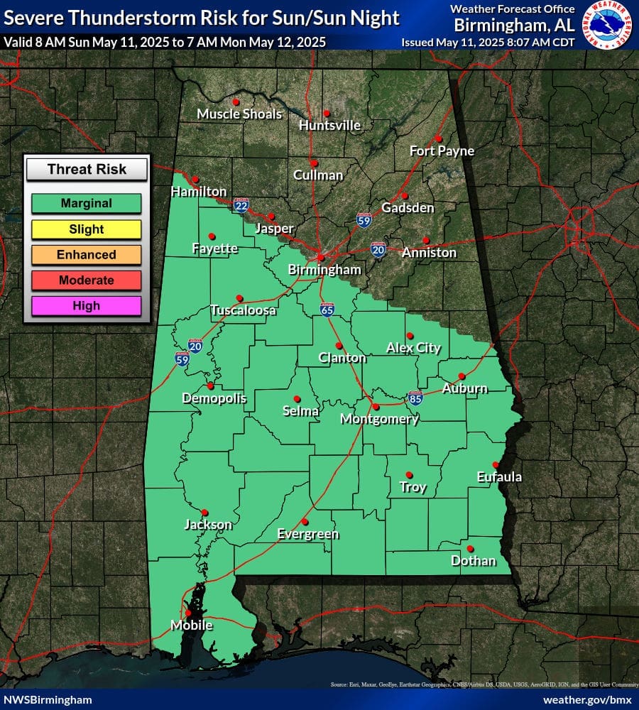

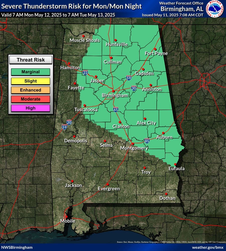
| Marginal (Severe Weather Outlook) | Isolated severe thunderstorms possible. |
| Marginal (Tornado) | Up to 5% chance of a tornado within 25 miles of your location. |
| Marginal (Damaging Wind) | Up to 15% chance of severe wind gusts (58 mph or greater) within 25 miles of your location. |
| Marginal (Large Hail) | Up to 15% chance of 1″ or larger hail within 25 miles of your location. |