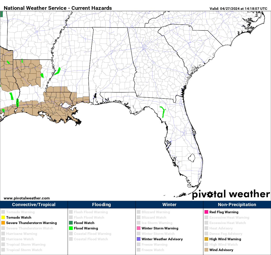
The arena.im service allows us to publish a “live blog”, while also powering us with a chat service in the process. Our live updates are in the footer in each section of our website.
Hazardous situation for our Coverage Zones, broken down hazard, time, and confidence.
Internal Resources
Find out more about our mission, who we are, what exactly we do and more.
Our Team is always actively looking for new members to join our Team. We believe there is a spot for everyone. Get started on the application process.
Browser Notifications
Subscribe to receive new post notifictions right inside of your favorite browser by clicking the bell icon in the bottom left corner.
Weather Pages
An all-in-one place for the latest Outlooks, Mesoscale Discussions and Weather Watches from the Storm Prediction Center
All-in-one place for information from the National Weather Service, including their latest tweets, Outlooks, and Discussions.
All-in-one place for information from the Weather Prediction Center, including Excessive Rainfall Outlooks and QPFs.
All-in-one place for information from the National Weather Service, including their latest tweets, Outlooks, and Discussions.
Latest Blog Posts
Dangerous Winds Expected; Severe Storms Possible Friday
SUMMARY: Non-thunderstorm winds of 40-50 MPH are expected Friday morning ahead of a line of thunderstorms. The line is expected to cross the state line during the late morning hours on Friday. HAZARDS: Non-thunderstorm winds of 40-50 MPH, with higher gusts. Severe thunderstorms are also possible with the same damaging wind gust potential and a…
Severe Weather Potential Tonight, Thursday Afternoon/Evening
SUMMARY: All modes of severe weather, including tornadoes (some of which could be strong), large hail, damaging winds, and flash flooding will be possible. A lower risk for severe weather exists tonight but increases on Thursday area-wide TIMING: For tonight (Wednesday); from 8:00 PM to 4:00 AM. For Thursday; early afternoon to early evening. AREAS…
Breezy Overnight; Strong to Severe Storms Possible Thursday Morning-Midday
SUMMARY: A line of strong to severe thunderstorms with the potential for damaging wind gusts, hail, and a tornado or two will be possible Thursday morning TIMING: Thursday morning – 1/12/23 AREAS AFFECTED: All of our Coverage Zones of north and central Alabama POTENTIAL HAZARDS: Damaging winds of 60 MPH, hail up to quarter size,…