The arena.im service allows us to publish a “live blog”, while also powering us with a chat service in the process. Our live updates are provided in the sidebar of our Front page. ➡️
Discord Community
🗣️
Our Discord Community is where we all come together to see automated updates from the National Weather Service in real-time, while also communicating amongst each other.
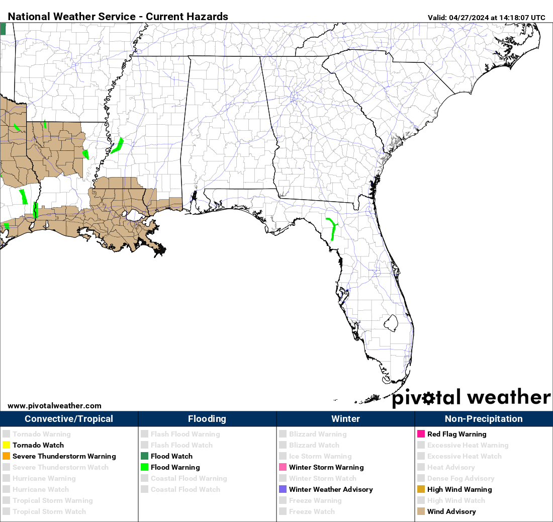
The latest map of hazards for our Coverage Zones and nearby areas. The map updates every minute. Navigate to our Severe Page to see severe weather updates in one place. ⬇️
Internal Resources
⬇️
About Us
⬇️
Find out more about our mission, who we are, what exactly we do and more.
Our Team is always actively looking for new members to join our Team. We believe there is a spot for everyone. Get started on the application process.
Browser Notifications
🔔
Subscribe to receive new post notifictions right inside of your favorite browser by clicking the bell icon in the bottom left corner.
Weather Pages
⛈️
An all-in-one place for the latest Outlooks, Mesoscale Discussions and Weather Watches from the Storm Prediction Center
All-in-one place for information from the National Weather Service such as their Outlooks specific to their CWA, their Graphical Hazardous Weather Outlooks, and their Area Forecast Discussions.
All-in-one place for information from the Weather Prediction Center, including Excessive Rainfall Outlooks and QPFs.
Everything you need to know about NOAA Weather Radios, how to program them, what to program them with, and where the transmitters are located.
Latest Blog Posts
Severe Weather Potential – April 2, 2024

We’re about 20 hours away from a potential severe weather episode across the state—all modes of severe weather including damaging winds, large hail, and tornadoes. The primary threat will be damaging straight-line winds of 60-70 MPH with any thunderstorms. OVERVIEW: …SUMMARY… A potentially substantial severe weather outbreak — possibly including a few significant/long-track tornadoes —…
Winter Storm Warnings and Winter Weather Advisories in Effect For Most of North/Central Alabama
Confidence continues to increase on the potential for high snowfall probabilities across the northern third of Alabama. See the slides below for the details, and read the text for what to expect. WINTRY PRECIPITATION ARRIVES THIS EVENING: Precipitation will start as a mixture of sleet and freezing rain and at times mix with snow as…
Powerful Winter Storm To Affect The Area Sunday and Monday Followed by Brutally Cold Temperatures
It’s been a talk for a long time, and it’s less than 30 hours away. Signs are pointing to this being the coldest arctic blast of the season. A prolonged period of sub-freezing, dangerous temperatures, and wind chills will be associated with this system, as well as some wintry precipitation in the form of snow,…